Can I fly here?
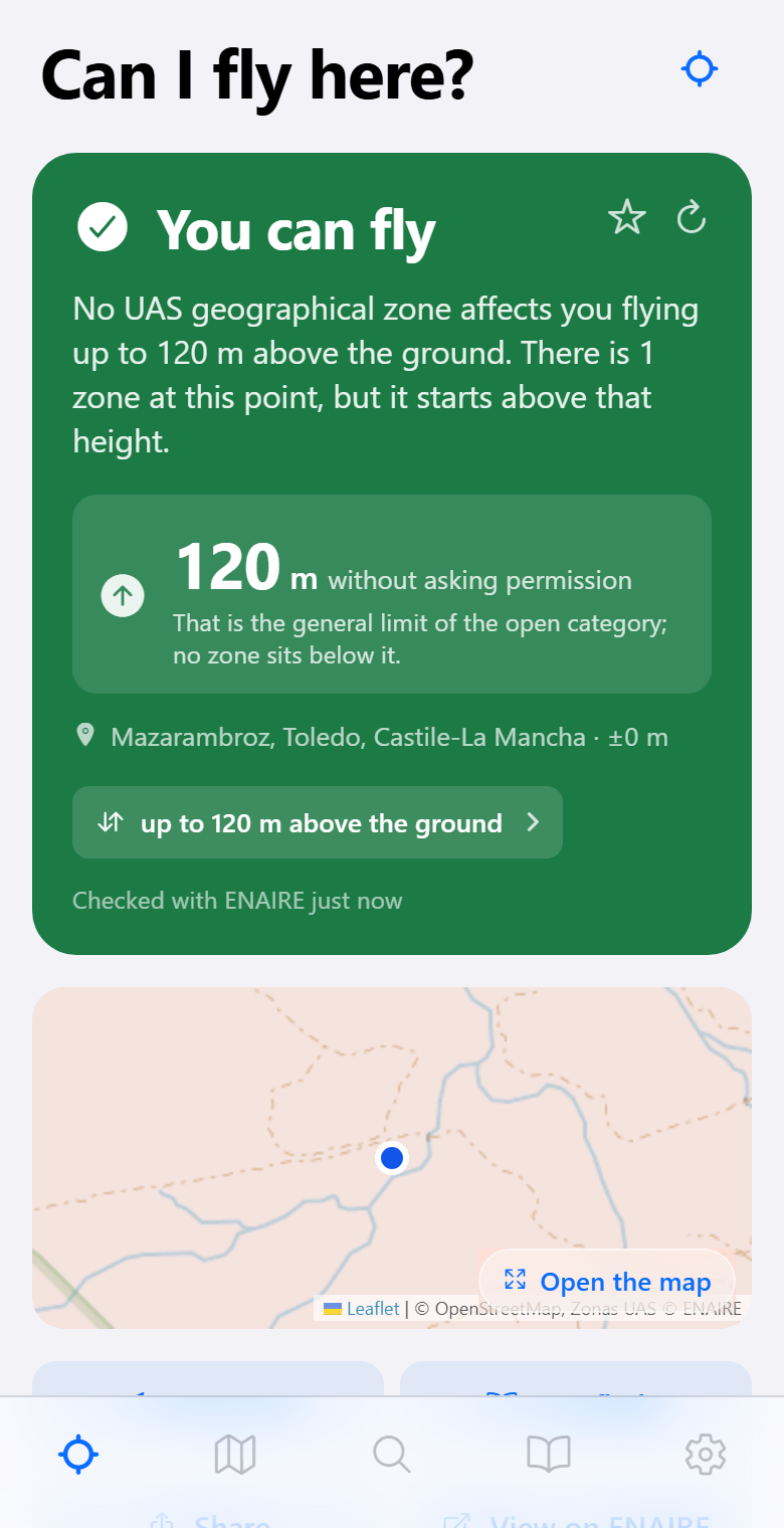
Zona Dron answers that question with ENAIRE's official data: whether the spot falls inside a UAS geographical zone, how high you can go without asking anyone for permission, and what to do when authorization is needed.
What it does
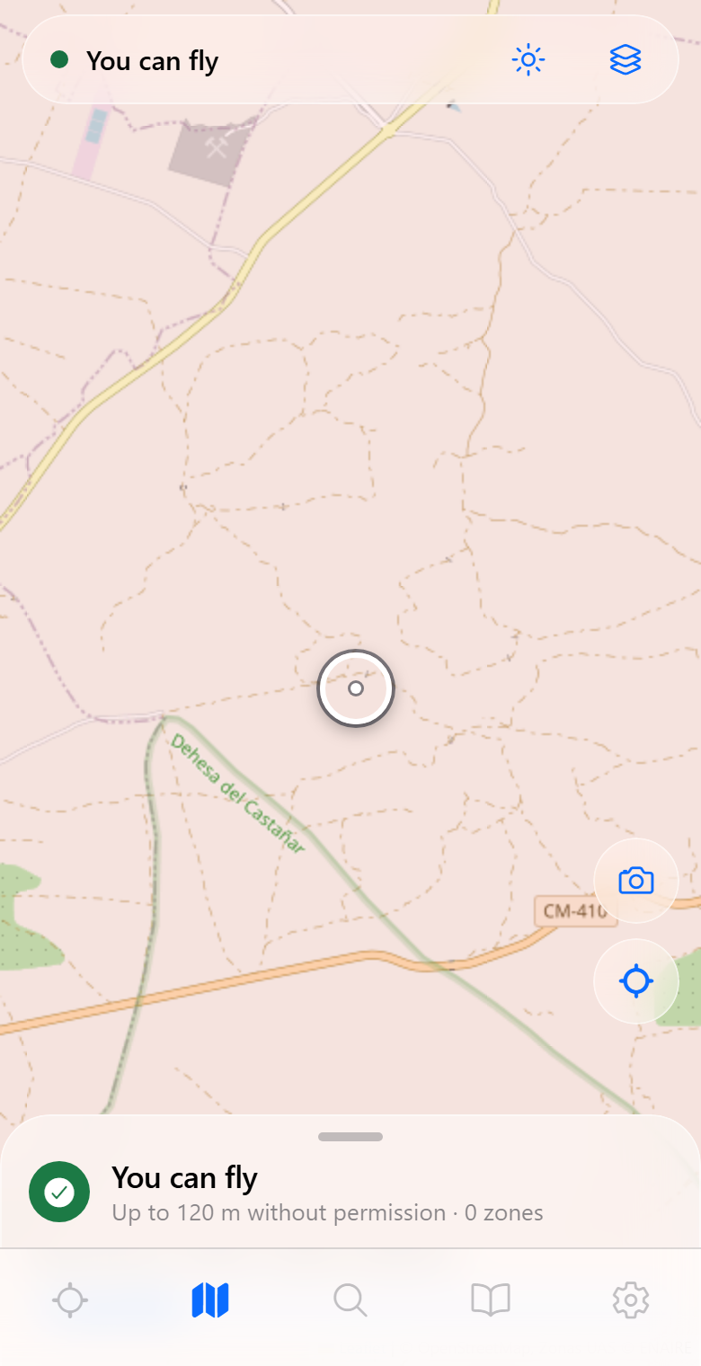
- Checks a spot: where you are, a place you searched, a pin on the map, or one shared from Google Maps or Apple Maps.
- Explains the verdict: which zone affects you, from what height, why, with ENAIRE’s official text in front of you.
- Free ceiling: how many metres you can climb without asking permission.
- Drafts the authorization request with your details and your drone’s, ready for you to send from your own mail app.
- Works without coverage: download the area over wi-fi and it answers just the same out in the field, which is exactly where there is no mobile data.
- Weather, light and shadows: wind, visibility, sunrise, sunset, golden hour and blue hour for that exact spot.
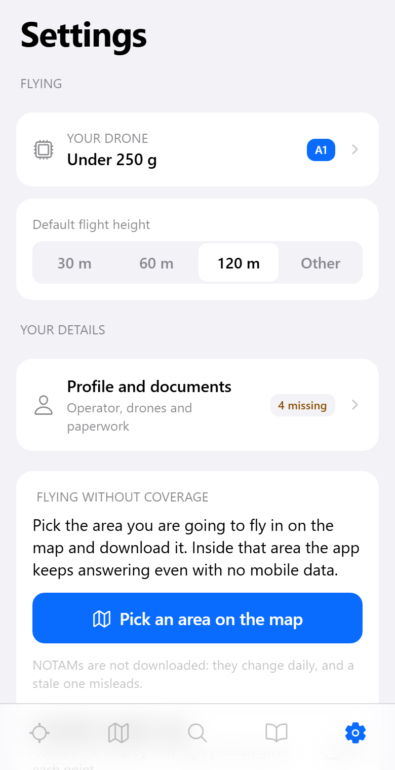
- Your profile: your drones with their serial number and class, and a folder for the paperwork — certificate, insurance, declaration of conformity — with a warning before any of it expires.
- Exportable flight log.
This is not an official service. Zona Dron queries and
organises information published by ENAIRE, but the legally binding source is
the AIP and AESA's official publications. Checking before flying is the
pilot's responsibility.
Privacy, in one line
No personal data is collected, there are no accounts, no server of its own, and no ads or trackers. What you save stays on your phone.
It is spelled out, service by service, in the privacy policy.
Supporting the project
The app is free, carries no ads and tracks nobody, and it is staying that way. If you find it useful, you can buy me a coffee.
Donating unlocks nothing: everything the app does, it does for everyone. Knowing whether you may fly somewhere is safety, and it cannot depend on having paid.
Installing
- Android: download the APK from the latest release and open it on your phone.
- iPhone and iPad: publishing on the App Store costs $99 a year, so an unsigned IPA is published instead, which you can sideload by signing it with your own free Apple ID (AltStore, SideStore or Sideloadly). Instructions are in the README.
Where the data comes from
| What | Source |
|---|---|
| UAS geographical zones and NOTAMs | ENAIRE |
| Terrain elevation and weather | Open-Meteo |
| Cartography and orthophotos | IGN, IDEE, PNOA |
| Place search | Nominatim (OpenStreetMap) |
| Land use and protected areas | Catastro, MITECO, IEPNB |
| Regulations | AESA, Regulations (EU) 2019/947 and 2019/945, RD 517/2024 |